Pelagic Insight
Offshore Fishing Intelligence
Satellite ocean data, offshore forecasts, 19,000+ waypoints, and 97 species profiles. Maine to Texas, dock to deep water.
iPhoneAndroidWeb
One account, one subscription. Your data and access follow you across iPhone, Android, and the web app.
Designed and built by the humans at datamachines.com.
Read the story about how Pelagic Insight was created.
$4.99/mo after free trial · Cancel anytime
📱See the App in Action
Screenshots & features · SST & chlorophyll overlays · Fishing logs · Forecasts
🗺️
Free: Explore 130+ Inlets from Maine to Texas
Interactive map · USACE depth soundings · Tide data · 18 states
Research: Ocean Data, Inlet Surveys & Vision AI
Papers on ocean modeling, hydrographic data, and coordinate verification
Subscriber Only Current Events Maps
Map views of current events such as the Strait of Hormuz
Ocean Data
- Sea surface temperature with automatic temp break detection
- Chlorophyll concentration
- Ocean currents
- Wind barbs (GFS 27km)
- Wave height, period, and direction
- Weather radar (NEXRAD)
- Tide curves with sunrise and sunset
Charts & Navigation
- NOAA nautical chart overlay
- Seafloor bathymetry hillshade
- Depth contours
- USACE inlet surveys
- Marine protected areas
- ActiveCaptain fuel stops, hazards, and boat ramps
- Range arc from your departure point
Waypoints & Spots
- 19,000+ reefs, wrecks, and live bottom waypoints
- Custom waypoints with tags
- Garmin MFD waypoint sharing
- Share waypoints with friends
Forecasts & Conditions
- Weather and sea conditions forecast for any location
- Ride quality assessment
- Live buoy conditions
- NWS marine forecast
Fishing Tools
- Species targeting heatmaps
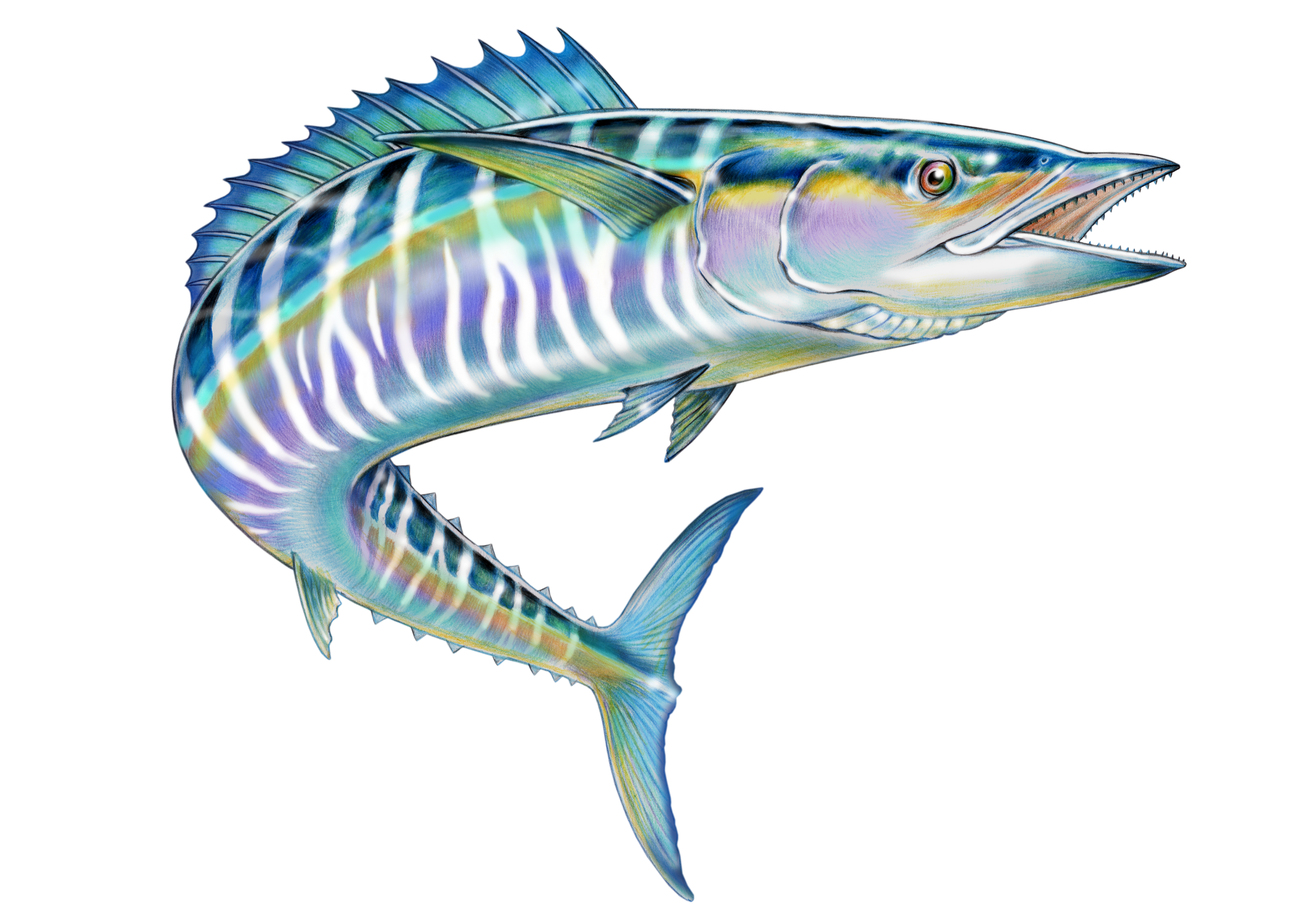
- Fish ID for 97 offshore species
- Fishing logbook with auto-filled conditions
- Intel reports
- GPS trip tracking
- Data export
Reference
- State and federal fishing regulations
- Catch reporting requirements and deadlines
- VHF channel guide by inlet
Coverage
- 130+ inlets, Maine to Texas
- Full offline mode for open ocean
Simple Pricing
$4.99/mo
Full access to all features. Cancel anytime.
- ✓ All ocean data layers (SST, chlorophyll, currents, wind, waves, radar)
- ✓ 19,000+ waypoints with shipwreck histories
- ✓ Weather and sea conditions forecast for any location
- ✓ Species targeting heatmaps (97 species)
- ✓ NOAA nautical charts, bathymetry, and inlet surveys
- ✓ Offline mode for open ocean
- ✓ GPS trip tracking and fishing logbook
- ✓ Custom waypoints with Garmin MFD sharing
- ✓ Fishing regulations and catch reporting